![]()
Spatial Industries
Brisbane: Emerging international spatial industries hub
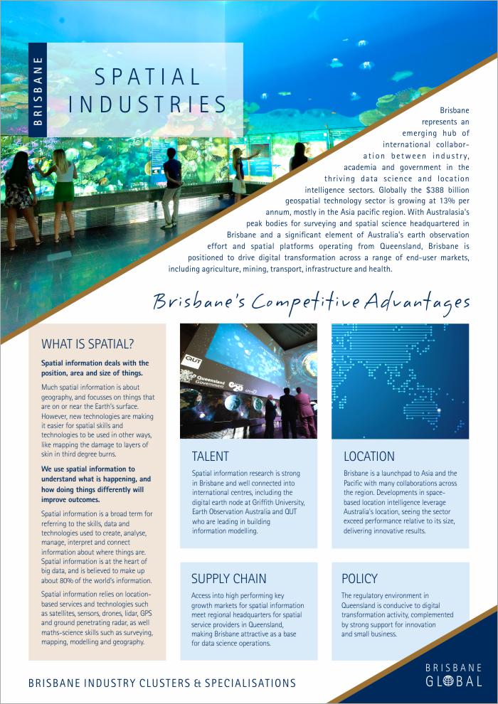
Brisbane represents an emerging hub of international collaboration between industry, academia and government in the thriving data science and location intelligence sectors. Globally the $388 billion geospatial technology sector is growing at 13% per annum, mostly in the Asia pacific region. With Australasia's peak bodies for surveying and spatial science headquartered in Brisbane and a significant element of Australia's earth observation effort and spatial platforms operating from Queensland, Brisbane is positioned to drive digital transformation across a range of end-user markets, including agriculture, mining, transport, infrastructure and health.
Brisbane's competitive advantages
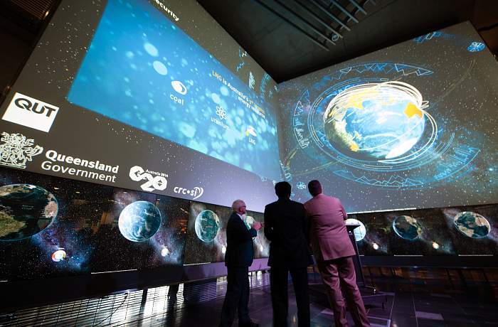
What is spatial?

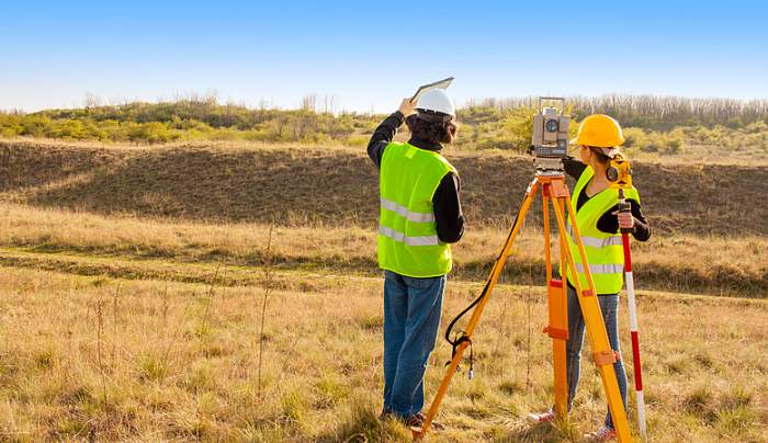
Spatial information deals with the position, area and size of things.
Much spatial information is about geography, and focusses on things that are on or near the Earth’s surface. However, new technologies are making it easier for spatial skills and technologies to be used in other ways, like mapping the damage to layers of skin in third degree burns.
We use spatial information to understand what is happening, and how doing things differently will improve outcomes.
Spatial information is a broad term for referring to the skills, data and technologies used to create, analyse, manage, interpret and connect information about where things are. Spatial information is at the heart of big data, and is believed to make up about 80% of the world’s information.
Spatial information relies on location-based services and technologies such as satellites, sensors, drones, lidar, GPS and ground penetrating radar, as well maths-science skills such as surveying, mapping, modelling and geography.
What industries use spatial information?
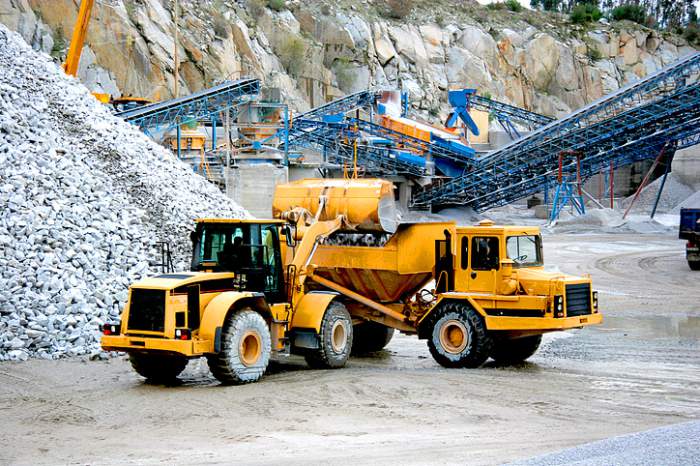 Almost every industry and every person with a smartphone uses spatial information. Many industries are starting to discover how spatial information can transform the way they do things as an industry, and how businesses and society can benefit.
Brisbane's competitive advantages
Land information management
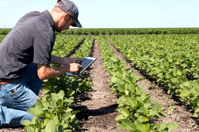
Environmental monitoring and yield optimisation
Workflow optimisation

Data Integration
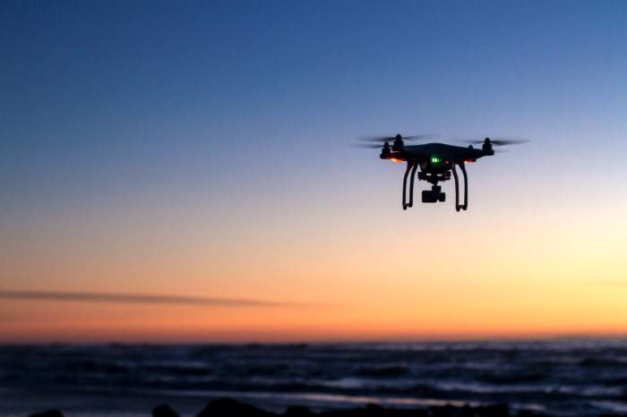 Internet of Things, drones, satellites and mobility are delivering unprecedented geo-enabled data to businesses. Aggregating data in a meaningful way to automate and supercharge decision making is a specialty of spatial platform providers.
Download Spatial Industries Fact Sheet